Port Michel Anchorages (41.5)
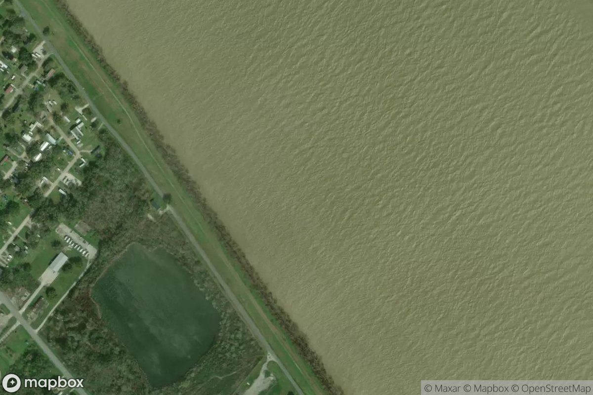
Port Michel Anchorages sits along Louisiana's southeast coast near the Mississippi River delta, providing access to one of the region's most active waterways. The facility offers anchorage and mooring options for vessels navigating the coastal waters and bayou systems around Port Michel. For current details on slip availability, services, and facilities, stop by in person or contact the marina directly to confirm what's available for your visit.
Coordinates
29.503700, -89.710823
Nearby Marinas
Own Port Michel Anchorages (41.5)?
Claim this listing for free. Update your information, add photos, and get a Verified badge.
Claim This Listing — Free