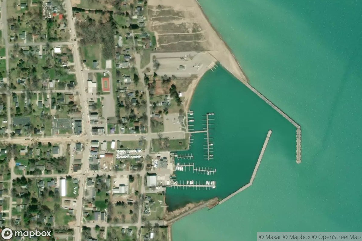
Port Sanilac Municipal Harbor
Port Sanilac Municipal Harbor offers boaters a convenient stopping point on Michigan's waterways. The facility serves recreational and commercial boaters throughout the season. Claim this listing to highlight your marina's full range of services.
Website
Coordinates
43.431400, -82.538905
Nearby Marinas
Own Port Sanilac Municipal Harbor?
Claim this listing for free. Update your information, add photos, and get a Verified badge.
Claim This Listing — Free